
We partner with


-1.svg?2026-05-07T14%3A36%3A05.865Z)


Our products
Maximise your situational awareness
Our products enhance situational awareness and streamline data processing.
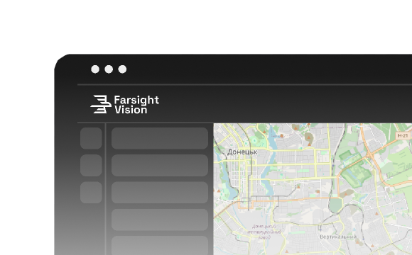



Achieve situational awareness up to 30x faster using 3D models, orthophotos, and anomaly detection.

Combine UAV media and share real-time intelligence seamlessly across units.

Streamline work with media collected in GPS-denied environments.

Seamlessly integrate with other platforms for better decision making.
features
Farsight Vision’s capabilities
We focus on simplifying terrain digitization and making every stage of working with spatial data intuitive and efficient.
Orthophoto
Orthophoto images enable effective analysis of areas of interest, operational planning, and timely decision-making.

3D Model
A 3D model of an orthophoto makes terrain inspection easier and helps to identify spatial details more accurately.

Object classification and tracking
Automatically detect, classify, and track objects of interest.

Route Planning
Generate intelligent routes between points that account for obstacles, visibility zones, and radio communications.

Anomalies
Spot differences in orthophotos of the same location captured at different times.

Explore real-world use cases across industries
Learn more
Request a demo
Experience the power of Farsight Vision
Get a personalized demo to explore the full range of features and discover how our solution can transform your workflow.
News
Media about us
October 7, 2026
Ukraine’s Farsight Vision Builds Ground Robot Navigation to Work Without GPS
UNITED24
October 1, 2026
Farsight Vision + “Khartiya” | How do national security agencies use digital twins of the terrain?!
Militarnyi
September 10, 2026
"You can allocate shoes, food or a drone to a soldier, but how do you allocate a license for software?" — Interview with Farsight Vision co-founder Viktoriia Yaremchuk
September 10, 2026
The Woman Behind Defense Tech: How a Former IT Specialist Taught Drones to Understand the Battlefield
Ministry of Digital Transformation of Ukraine
September 4, 2026
Seeing Through the Fog: Ukraine's AI Vision Technology Goes Global | Yaremchuk, Farsight Vision
FORWARD with Valeriya Ionan